Twenty-nine 4,000-metre peaks all at once
The 29 four-thousand metre peaks
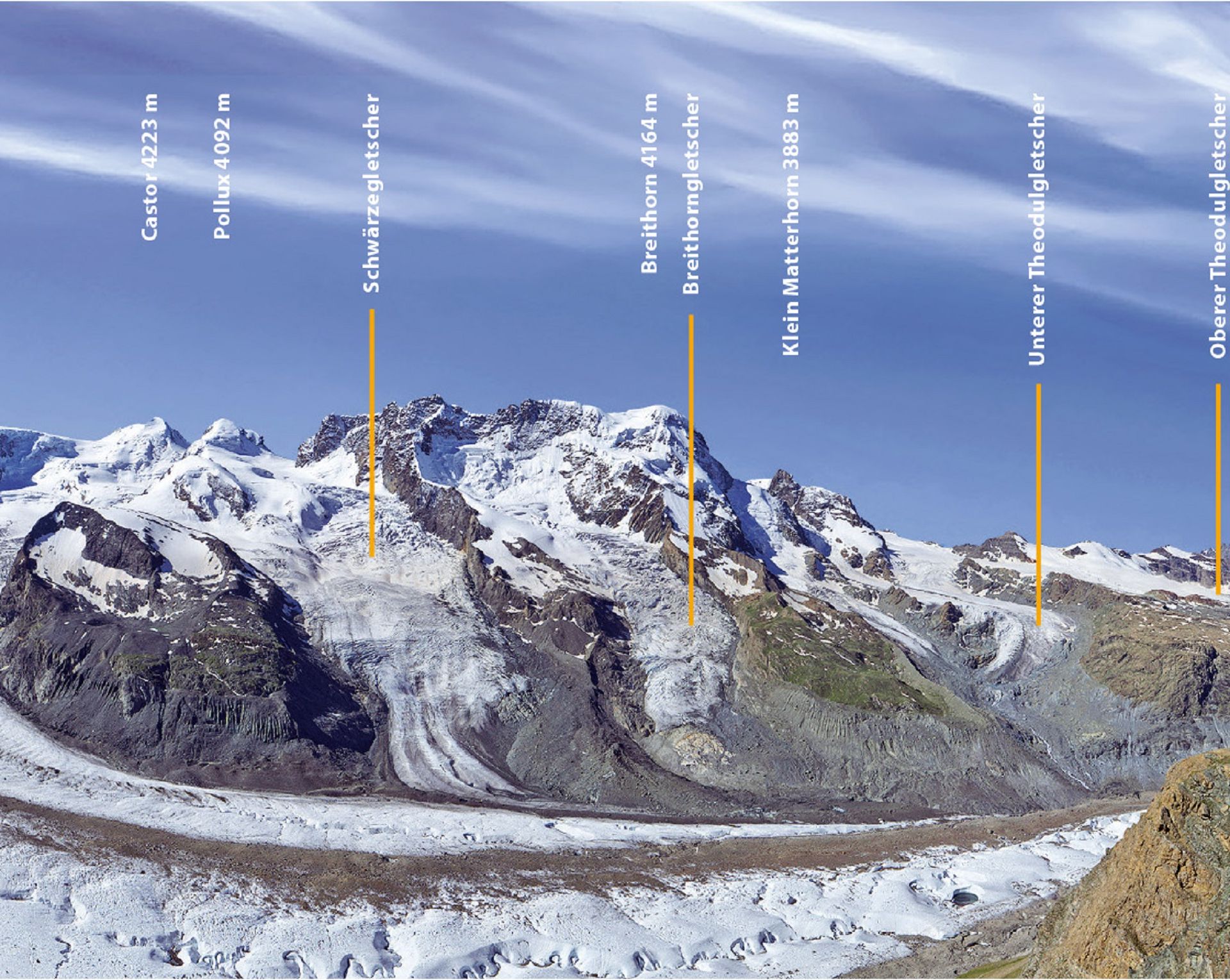
From the Gornergrat you get to see twenty-nine peaks of 4,000 metres height. The best plan is to go up from the railway station to the viewing terrace. The Viscope telescope shows you them with the names of all the peaks. If you’re feeling more energetic you can walk round the 360° Gornergrat Loop where you will enter further into the high-alpine world with just a 20-minute stroll.
The highest: Dufourspitze and Dom
Switzerland’s highest summit is the Dufourspitze at 4,634 metres, but does not stand entirely on Swiss territory. As the entire Dom mountain (4,545m) stands on Swiss territory it is often considered to be the highest Swiss mountain.
Originally, the Dufourspitze was called Gornerhorn. In 1863 it was renamed in honour of the Swiss general and cartographer Henri Dufour. He was the first person to produce an exact map of Switzerland.
Dufourspitze in Winter
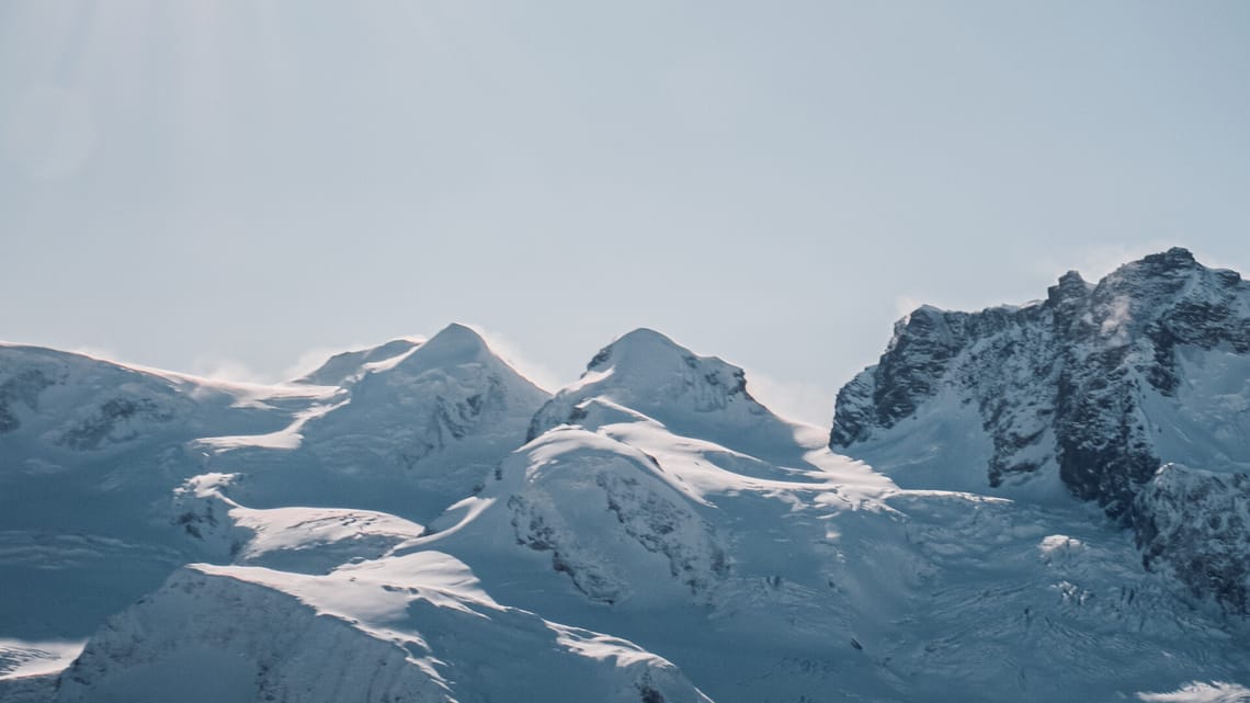
The man-eater: Lyskamm
The Lyskamm is actually two peaks, connected by a 1,000 metre-long ridge. The ridge is dangerous to walk on - not only because of its steep sides - but mainly because of overhanging snow drifts which are hard to discern and have caused the deaths of many a mountaineer. That’s why the Lyskamm’s nickname is ‘man-eater’.
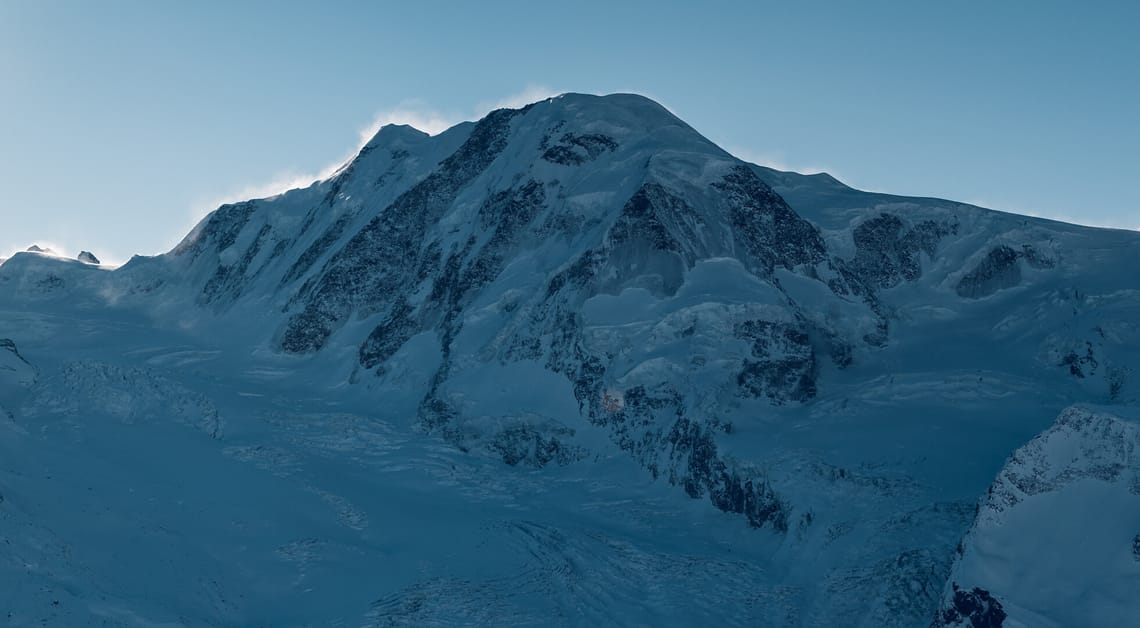
Liskamm in winter
The rocky peak: Zinalrothorn
The Zinalrothorn is a peak of pure rock and can only be reached by climbers. It recently came to the media’s attention when the free-rider Jérémie Heitz skied down the 800 metre-high and 55°-steep north wall.
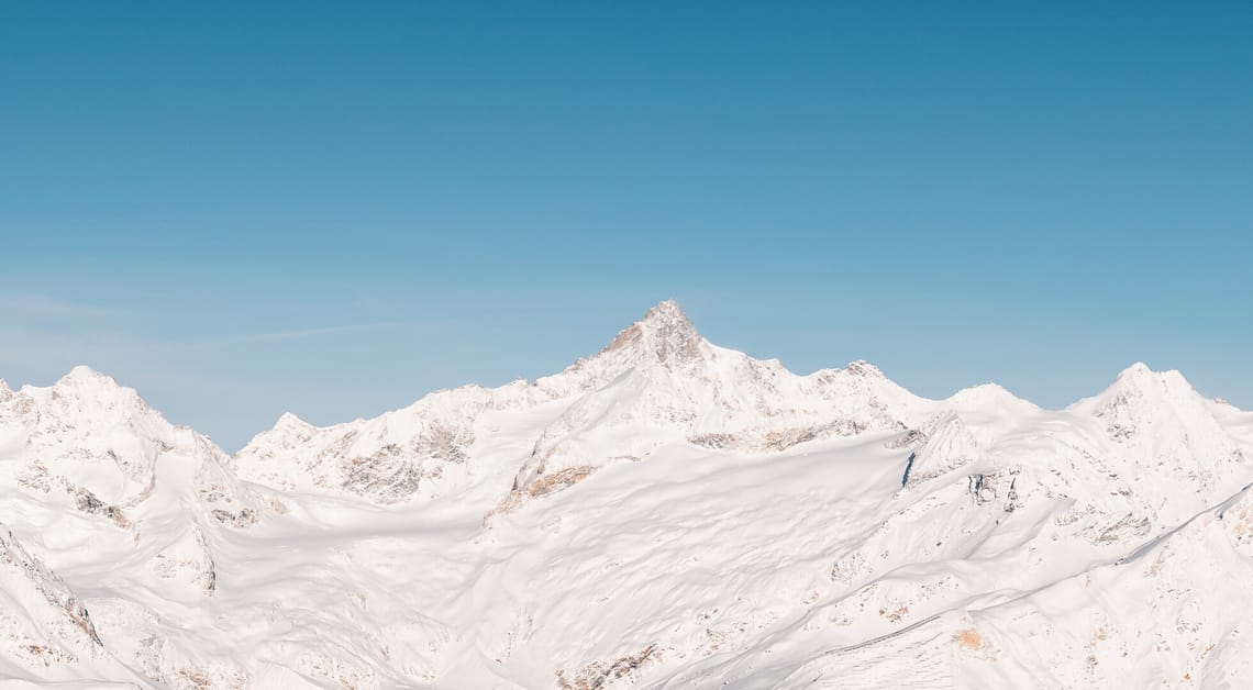
Zinalrothorn in winter
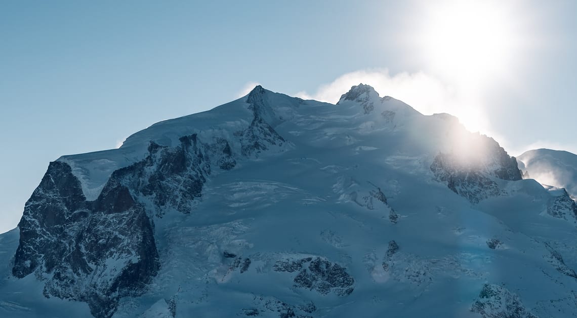
The twins: Castor and Pollux
These two peaks get their names from Greek mythology. The ‘twin’s yoke’ separates the two. They are often climbed as part of the so-called ‘spaghetti tour’, which is an alpine tour of several days’ duration and includes conquering eleven four-thousanders.
Castor and Pollux from Gornergrat in winter
Aligned with the compass: Dent Blanche
Dent Blanche is about 10 kilometres west of Zermatt on the German-French language border at the far end of the Val d’Anniviers. Its shape is reminiscent of a pyramid and all four sides are directly aligned with the points of the compass – north, south, east and west.
Dent Blanche and 3100 Kulmhotel Gornergrat
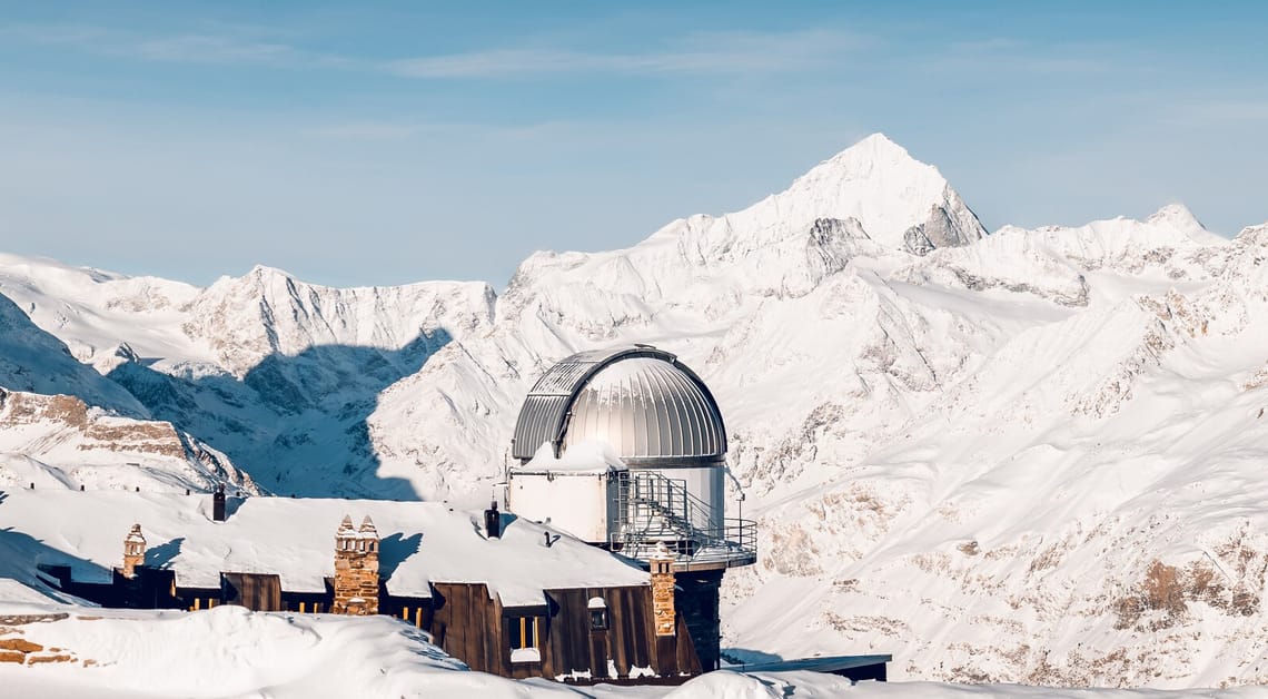
In tune with ecology: Base camp Monte Rosa Hut
Since 2009 the Monte Rosa Hut has served as a mountaineer’s starting point for a number of four-thousand metre summits. The exterior design of the hut, with its silver aluminium façade, is based on a mountain crystal. The building is more or less self-supporting and waste water is recycled. Leaving the train at Rotenboden station the hut can be reached with a four to five hour hike. After spending a night here climbers can choose between 14 different four-thousand metre peaks for the next day’s climb, including famous names like Dufourspitze, Castor or Pollux.
Europe’s highest altitude building: Signalkuppe
This mountain is close to the Swiss-Italian border. The highest European refuge hut stands on the Italian side and is therefore Europe’s highest altitude building. The ‘Capanna Margherita’ was named for Italy’s Queen Margherita who, by the way, stood on the summit of the 4,554 metre high mountain in 1893.
The first peak conquered: the Breithorn
Breithorn is considered to be one of the easiest four-thousand metre peaks to climb and so it is not surprising that of all 29 peaks you can see from the Gornergrat it was the first to be summited. A group of 5 mountaineers made it to the top at 4,164 metres in 1813.
The peaks of Breithorn